The Himachal gallery
Walk the rooms. Tap what you love.
Each room is a hall you walk through by scrolling. Works hang on both walls. Tap one to see what it is, who made it and where it is kept today.
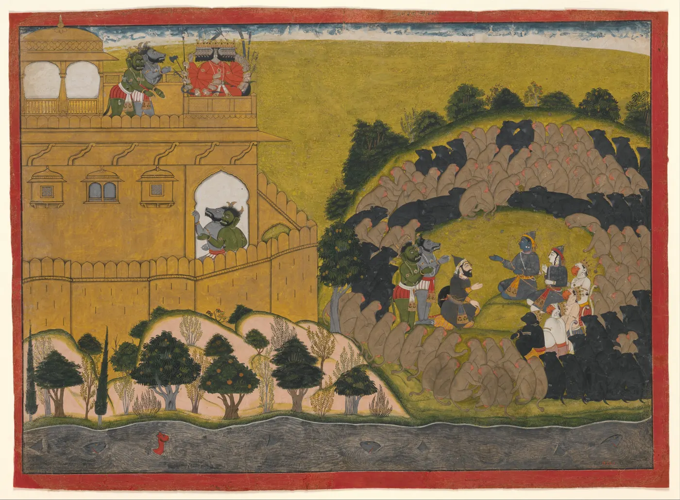
Open · 15 paintings
Pahari miniatures
Paintings from the hill courts of Guler, Kangra and Mandi, about 1700 to 1820. Walk the hall, tap a painting.
Enter the room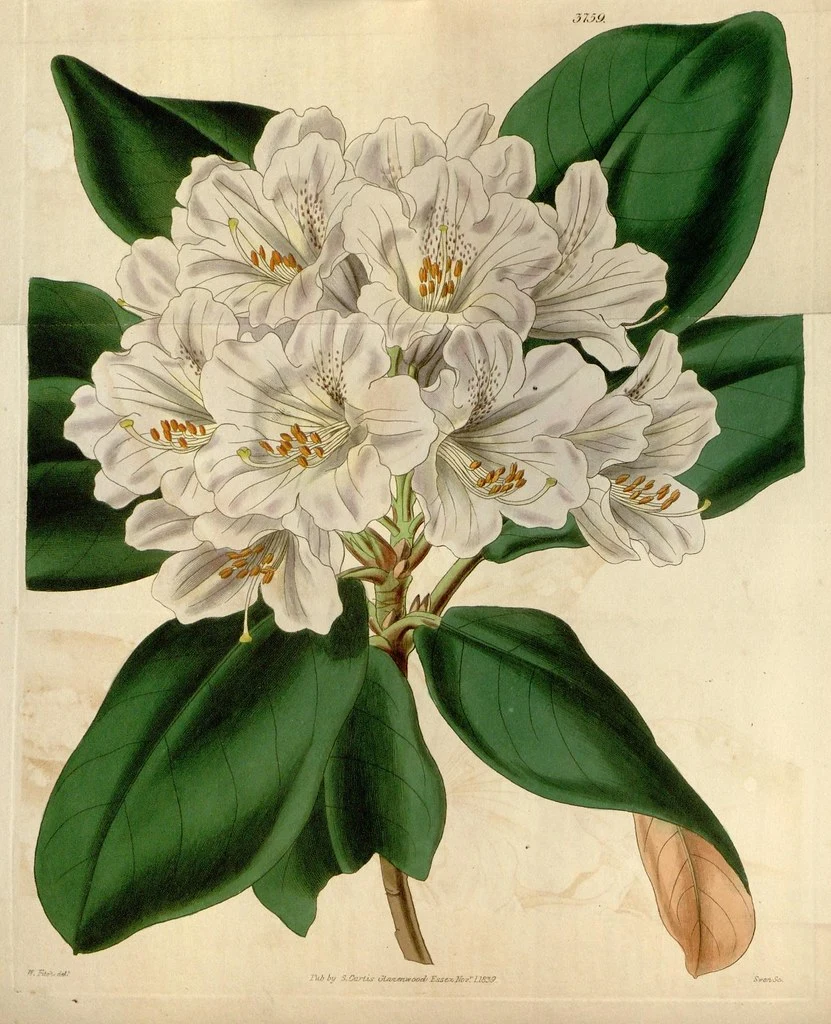
Open · 12 botanical plates
Flora of the Heights
Old botanical plates, from deodar to Himalayan blue poppy. Artist credits and sourced records of the plants in Himachal.
Enter the room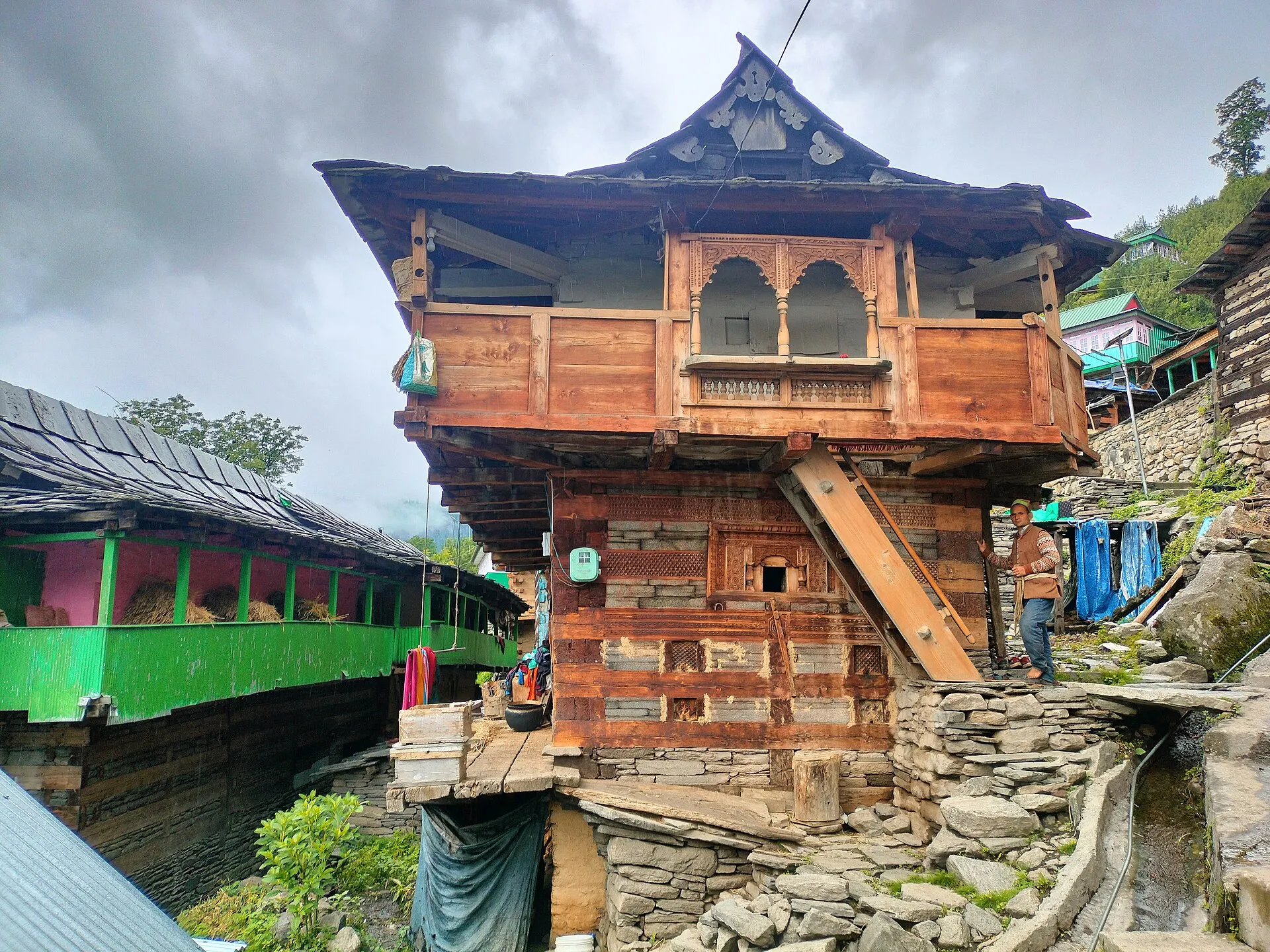
Open · 13 photographs
Kath-kuni
How wood and stone were laid together to build houses and temples in the hills.
Enter the room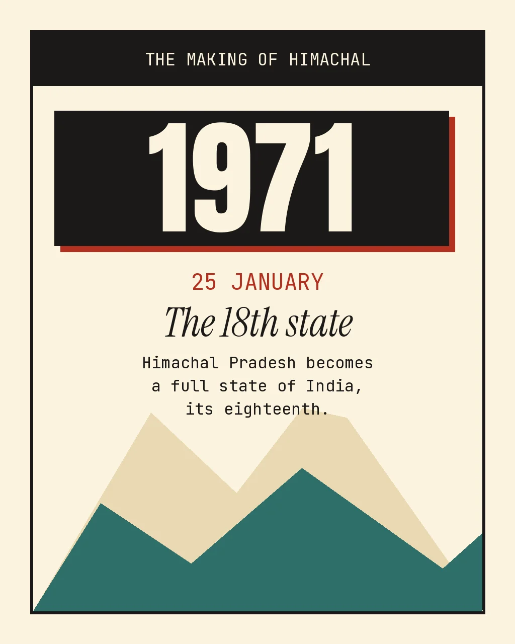
Open · 10 maps and dates
The making of Himachal
How the hill states came together and became a full state, 1948 to 1971. Six dates and old maps.
Enter the room
Every work has a named source and a linked collection record. Pahari works: The Met. Botanical plates: Biodiversity Heritage Library. Checked 22 Nov 2026.
More to explore
Chief ministers
Who has run Himachal, and for how long. Scroll from 1952 to today.
Scroll the yearsRain shadow atlas
Same state, very different rain. Drag a cloud from Dharamshala to Spiti.
Drag the cloudOne Drop
Follow one drop of snow from a ridge near Kunzum La down the Spiti and Sutlej to Nangal, 480 km.
Follow the dropMap and districts
The 12 districts, their headquarters, size and population on one map. Tap a district.
Open the map